Marrakech to Merzouga: what happens along the way
The Sahara is not one long transfer from Marrakech. It is a road of Atlas passes, earthen kasbahs, palm valleys and small places worth slowing down for.
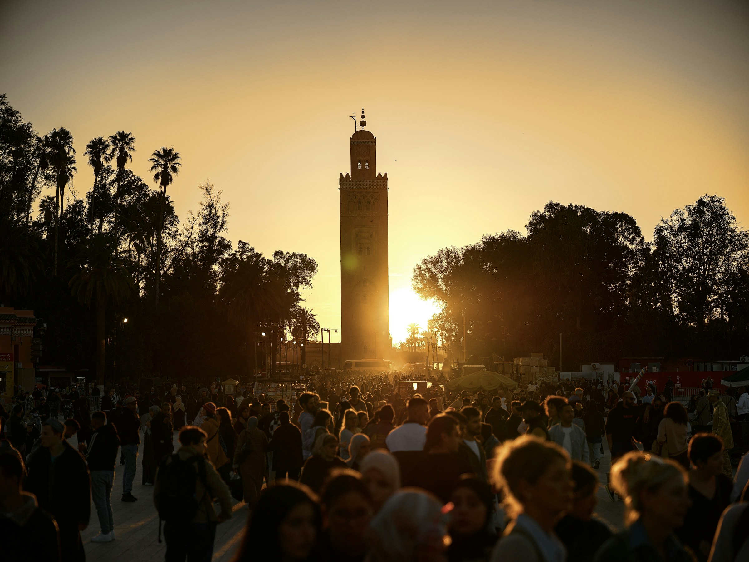
The route from Marrakech to Erg Chebbi covers roughly 560 kilometres, but distance is the least interesting way to understand it. The landscape changes repeatedly, and the journey works best when those changes are given time.
Across the High Atlas to the kasbah country
The road climbs from the Marrakech plain toward the Tizi n’Tichka pass, moving through mountain villages and broad viewpoints. Beyond the pass, the architecture shifts to earth and stone as the route approaches Aït Ben Haddou and Ouarzazate.
Aït Ben Haddou deserves more than a quick photograph. Walking through the ksar reveals narrow lanes, communal spaces and views across the dry riverbed that explain why this place has endured.
Valleys, gorges and the long eastern road
From Ouarzazate the road follows the Valley of Roses and Dades landscapes before reaching the limestone walls of Todra Gorge. These stops break the distance naturally and make a two-night approach to the desert feel like a journey rather than a transfer.
After Tinghir, towns become smaller and the horizon opens. Fossil country, irrigated palms and flat hammada gradually give way to the first clear outline of Erg Chebbi.
Why three days is the minimum, not the ideal
A three-day return trip is possible and remains popular, but it includes long driving days. Four days create breathing room for a slower valley stop, more time in Merzouga or a return route that does not feel rushed.
If your wider trip continues to Fes, crossing the desert from Marrakech and travelling north through the Ziz Valley is often more satisfying than returning along the same road.
Turn the research into a route.
Tell us where you want to begin and how much time you have. We’ll help shape a private Morocco journey around it.
Keep reading
 Trip planning
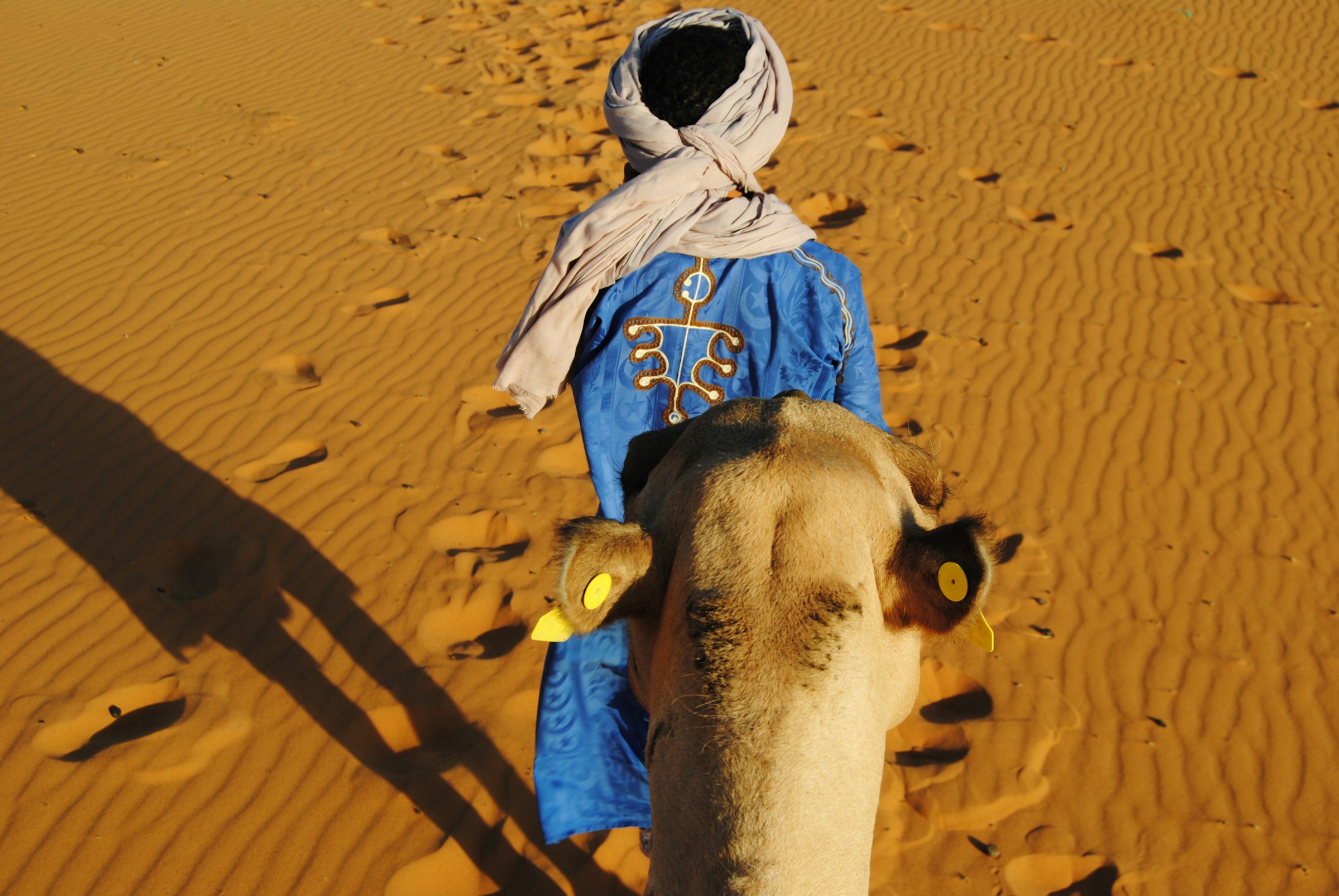
The best time to visit the Morocco desert
A season-by-season guide to desert temperatures, quieter months and the kind of journey each time of year makes possible.
Read the story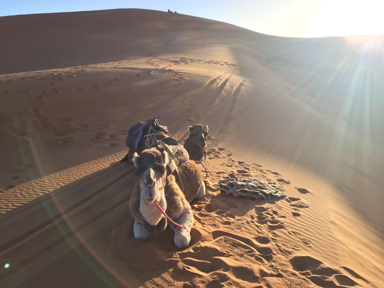 Practical guide
What to pack for a Sahara desert tour
A practical packing list for sunny afternoons, cool desert nights, camel rides and the changing landscapes between Marrakech and Merzouga.
Read the story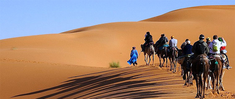 Desert experiences
Sunrise, sunset or overnight: choosing a camel trek
Sunrise, sunset and overnight camel treks offer very different rhythms. Here is how to choose the experience that fits your time and travel style.
Read the story